
Python Across ArcGIS
January 29, 2024 | 11 am IST onwards
Python Across ArcGIS
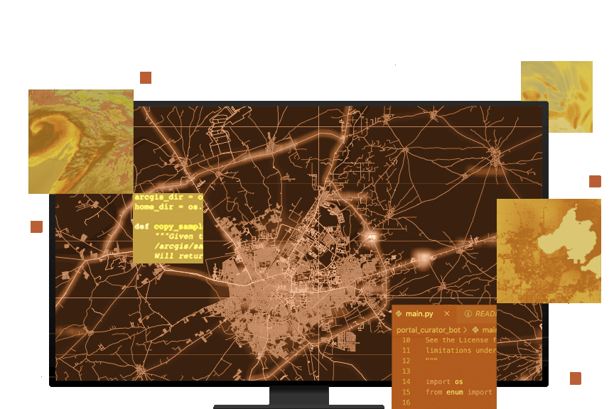
In the recent few years, the integration of Python with ArcGIS has become paramount as organizations seek efficient ways to harness the power of scripting in their geospatial workflows. Python Across ArcGIS seamlessly blends spatial and non-spatial data processing, providing a versatile toolkit for analysis and automation.
ArcPy, the Python site package for ArcGIS, empowers users to automate tasks, create custom tools, and streamline geoprocessing workflows. Similarly, ArcGIS API for Python helps us in automating Web- GIS Workflows. This session will delve into the dynamic synergy of Python and ArcGIS, showcasing its capabilities and architecture.
Key Takeaways
1. Introduction to Python in ArcGIS:
- Unleashing the potential of Python scripting within ArcGIS Platform
2. Automating Workflows:
- Harnessing the power of ArcPy to automate repetitive tasks
- Creating custom tools to enhance geoprocessing efficiency
3. Geospatial Analysis with Python:
- Exploring spatial analysis capabilities using Python scripts
- Leveraging Python libraries for advanced geospatial analytics
4. Python for Mapping Professionals:
- Tailoring Python scripts for GIS professionals
5. Visualizing Data with Python:
- Creating dynamic and interactive visualizations using Python libraries
6. Introduction to Notebook Server:
- Scripting in Notebook Server and scheduling of tasks
Who should attend?
GIS professionals, data analysts, and industry experts seeking to elevate their geospatial capabilities through Python integration within the ArcGIS platform. This session is tailored for individuals across various sectors aiming to enhance their data analysis and automation skills in a geospatial context.
Speaker

Sreebhadra H R,
Esri India