Registrations are closed
Spatial Analytics in ArcGIS
February 21, 2024 | 11 am IST onwards
Discover the Power of Spatial Analytics in ArcGIS
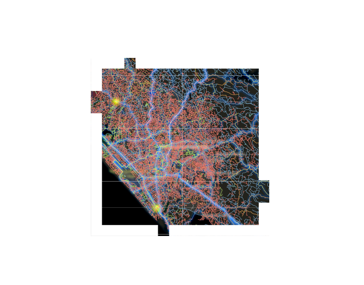
Maps are more than just geographical illustrations; they hold the potential to reveal valuable insights, trends, and decision-making cues. Embracing the capabilities of spatial analytics in ArcGIS empowers you to confidently address questions and extend your decision-making abilities beyond mere visual interpretation. Did you know that ArcGIS is equipped with a robust toolkit for exploring spatial patterns, real-time data, and in-depth analytics?
While spatial analytics may share common ground with traditional data analysis in terms of concepts and objectives, it stands apart as a specialized field designed to leverage geographic data to its fullest extent. Unlike conventional statistical methods, spatial analytics directly integrate spatial factors such as proximity, area, connectivity, and various other spatial relationships into the analytical process.
Key Takeaways
- Overview of Spatial Analytics in ArcGIS
- Spatial Analysis utilities
- Data Pre-Processing and Data Engineering in ArcGIS
- Exploratory data analysis Utilities in ArcGIS
- Leveraging the power of ArcGIS R-Bridge, Jyupter Notebook and Visualization
- Real-Time Visualization and Analytics
Who should attend?
This webinar is tailored for GIS enthusiasts, data scientists, geospatial analysts, urban planners, environmental scientists, and anyone looking to harness the power of spatial analytics to unlock the potential of their data.
Speaker

Bhatti Prathavi Ghanshyambhai,
Esri India